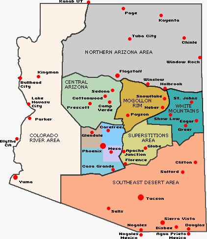
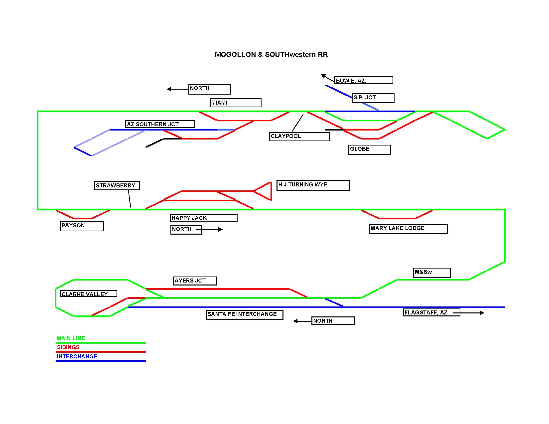
Regional Map, Track Route
on the Mogollon & Southwestern Railroad
The
where the ATSF connects via Ayers Junction. To the South
is Globe, where an SP branch line
ends and interchanges. The train Route Map is from
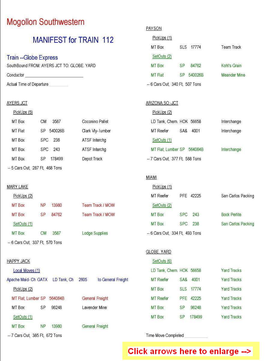
Tom. Next is a Train Manifest generated
by RailOp software, used now operations on the
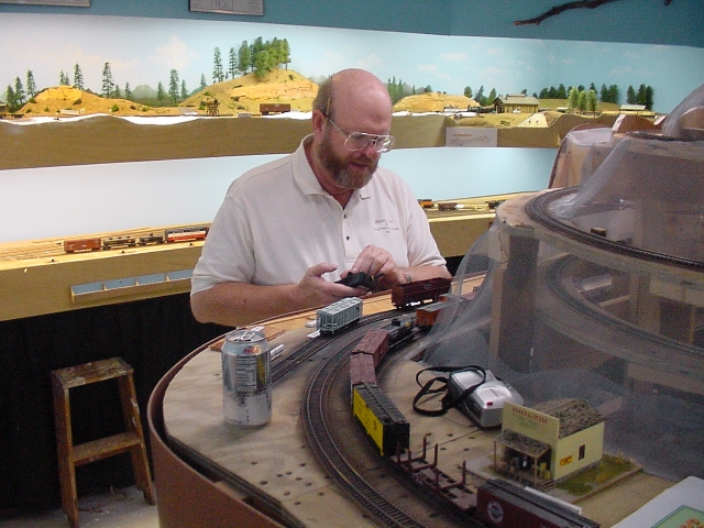
layout. And then some photos Tom took
during
the first Operating Session on the layout using RailOp,
in late September of 2003.
<Back> to Tom’s picture page Page created on 1/9/05
|
|
Train 112 Manifest (dbl click when opened) |
Fred is switching cars in Payson |
||||||
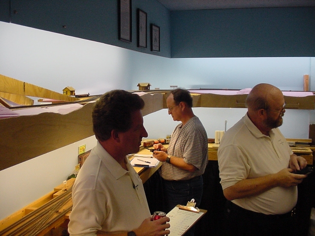
Frolin (me) dispatching, Brian & Fred switching |
Paul switching the Smelter in Globe |
|
|